


PR_22_Bon-Repos_AA_01_Circuit4_Tregnanton-Et-Lac-Assec_20151025

patrickdanilo
User
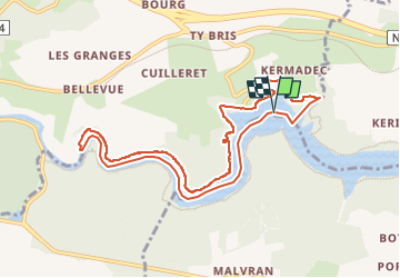

Length
10 km

Max alt
168 m

Uphill gradient
133 m
Km-Effort
11.8 km

Min alt
121 m

Downhill gradient
133 m
Boucle
Yes
Creation date :
2019-03-21 08:12:46.685
Updated on :
2023-05-05 05:52:20.504
2h34
Difficulty : Easy

FREE GPS app for hiking
 SityTrail
IGN / Geographical institutes
SityTrail Plus
The world is yours!
About
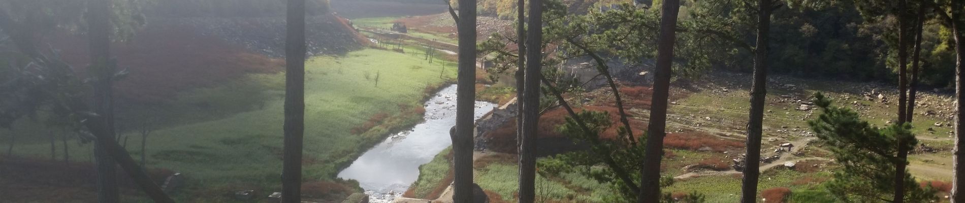
Trail Walking of 10 km to be discovered at Brittany, Côtes-d'Armor, Bon Repos sur Blavet. This trail is proposed by patrickdanilo.
Description
Randonnée Marche de 10 km à découvrir à Bon Repos sur Blavet, Côtes-d'Armor, Bretagne. Cette randonnée est proposée par patrickdanilo
Photos


Positioning
Country:
France
Region :
Brittany
Department/Province :
Côtes-d'Armor
Municipality :
Bon Repos sur Blavet
Location:
Saint-Gelven
Start:(Dec)
Start:(UTM)
494051 ; 5339746 (30U) N.
Comments